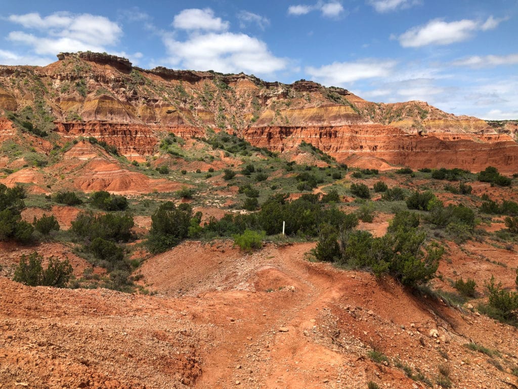
Palo Duro Canyon is nicknamed the Grand Canyon of Texas for good reason, being the 2nd largest canyon in the country after the Grand Canyon it has a lot to live up too. While West Texas and the Panhandle region get a bad rap for being flat and boring, Palo Duro Canyon is there to remind you sometimes the road less traveled gets you to the best parts.
If you are like us and do not have days to spend at a State Park to enjoy every trail then we have the must do trails if you are short on time but want to see the most. Head over HERE for our one day breakdown of Palo Duro State Park!
The must do trail and the most popular is the Lighthouse Trail that takes you to the Lighthouse Rock Formation. This trail is what Palo Duro Canyon is known for and most if not everyone who visits the park should make this a priority. The second most popular trail will be the Givens, Spicer, Lowry Trail or GSL Trail for short. Depending on your time frame in the park and fitness level we definitely encourage you to venture out and explore this one as well!
If you are looking for a treat and want to have a great adventure filled day at Palo Duro Canyon and want to see as much of the park as possible check out our Epic Loop below!
Lighthouse Trail to Lighthouse Rock
The Lighthouse Trail is by far the most popular trail at Palo Duro Canyon and if you only have time for one hike then this must be it. While the hike is by no means a short in and out, we do think it is to be considered a very easy trail until the last section of scrambling up to the actual Lighthouse Rock.
How long is the Lighthouse Trail
The trail is 2.8 miles one way for a total of 5.6 miles roundtrip with an estimated time of 2 hours total.
How to get to the Lighthouse Trailhead
The Lighthouse Trailhead is located in a small parking lot right off the main Palo Duro Canyon Loop Road. The parking lot is roughly 5 miles from the park entrance and should take about 15-20 minutes depending on traffic in the park. We recommend to get there early since the parking lot is quite small and can fill up fast during peak season.
If the parking lot is full you do have the option to backtrack and park at the Paseo del Rio Trailhead and Givens, Spicer, Lowry Trailhead which is about a mile away. If you are doing the Epic Loop described later on this is a great back up option.
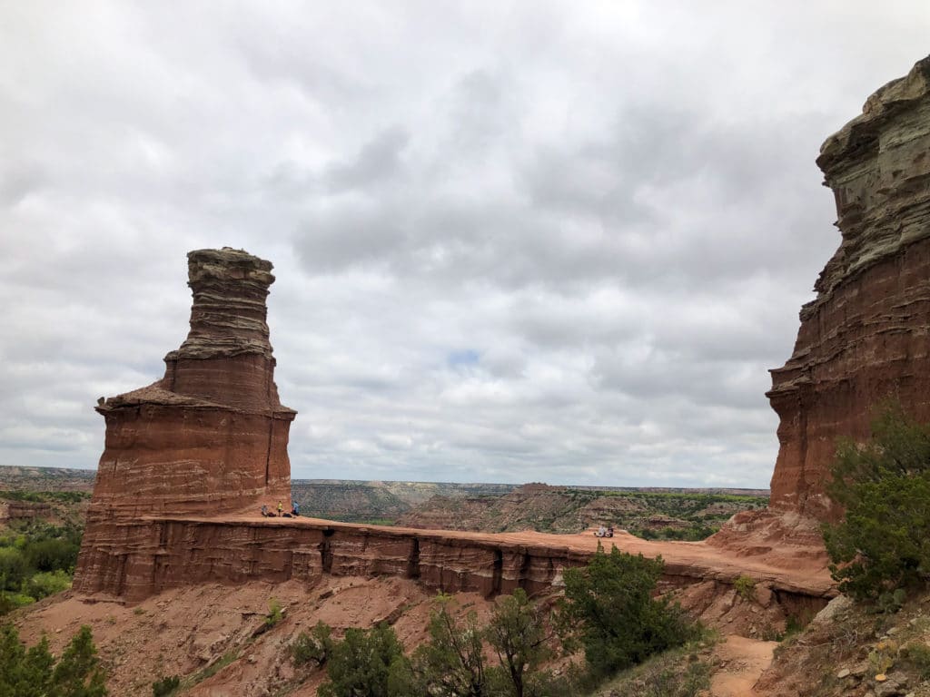
Hiking the Lighthouse Trail to Lighthouse Rock
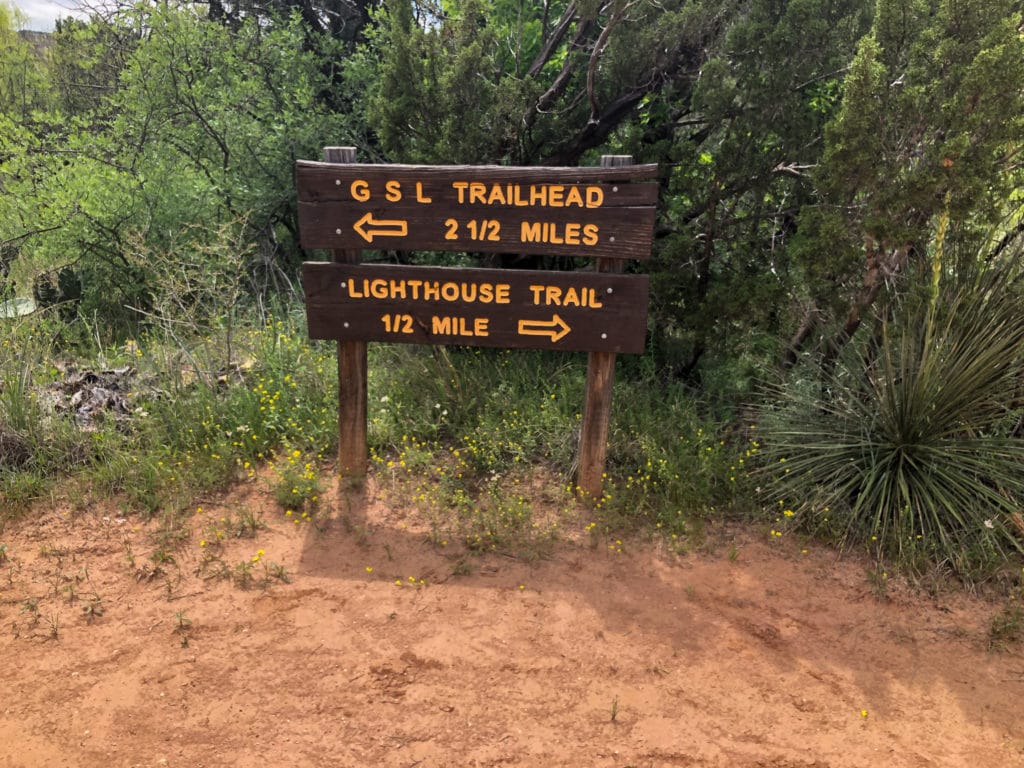
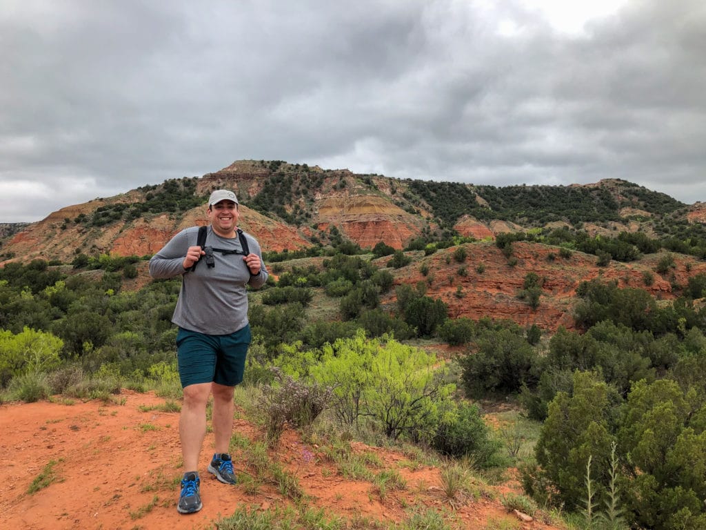
The hike starts a short walk from the main parking area where you will see clear signage that this is the Lighthouse Trailhead. There are two paths leading onto the trail but do not worry they both meet up shortly after starting. The trail surface like much of the other trails in Palo Duro Canyon consists of packed dirt and rock with a few sandy patches throughout.
The beginning of the trail is mostly flat surface until crossing past Capital Peak. After this area the trail will involve crossing numerous creek beds but all where dry during our visit. We have yet to read of any them being water crossings during the year but we could imagine during heaving rain season that water could accumulate here.
You also will run into small areas with not a picnic table but more of a wooden bench with a shelter above that is a nice spot to grab a drink and snack depending on how winded you are. We mostly used these rest areas as a reminder to reapply sunblock since personally we don’t play when it comes to sunburns and always do our best to reapply throughout any hike we do.
The rest of the trail continues with packed dirt and is relatively flat, you will cross a sign pointing you to the Givens, Spicer, Lowry Trail about half a mile from the Lighthouse Rock which if you decide to do the Epic Trail will be taken on the way back.
You know you have arrived at the Lighthouse Rock not by the formation but by a metal picnic table and bike rack. Technically this is the end of the trail on the map but if you are able bodied and want a bit of adventure then you better continue to the actual Lighthouse Rock.
The final scramble up to the Lighthouse Rock is less than .25 miles but is definitely the most challenging part of the entire trail. We would say that if you are not decently able bodied then you should not attempt this part of the trail.
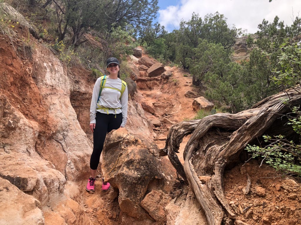
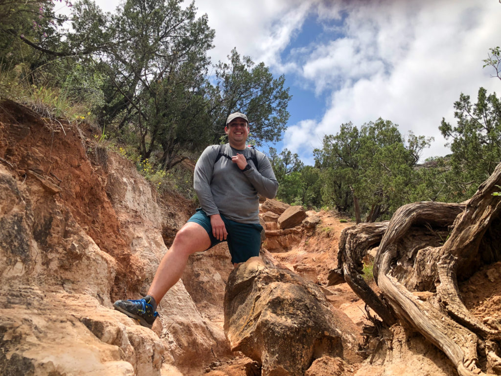
At the metal picnic table and bike racks you will have two options one left or one right path that will take you to the natural bridge that the Lighthouse Rock sits at. After doing both paths we definitely agree that the path on the left is the easier route. The path on the right is a decent sheer drop down and if you are scared of heights or have small children, we would discourage it.
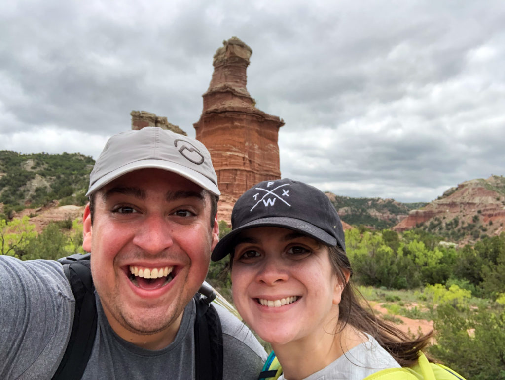
Once you make the climb you are greeted with spectacular views not just of the Lighthouse Rock formation but of the entire valley you just hiked on the route here. We highly encourage a small picnic lunch with you so you can sit, relax and enjoy the beauty of the Palo Duro Canyon.
Epic Palo Duro Canyon Loop Trail
While there are a lot of trails in Palo Duro Canyon and the Lighthouse Trail is by far the most popular and our recommendation if you only have time for a quick in and out. Alternatively we think there is a much better way to see most of the park in one simple loop and in one day.
The joining of these three trails to make an Epic Palo Duro Canyon Loop is in our opinions the best way to spend one day at Palo Duro Canyon and get to see the most diverse scenery.
Now to not downplay the length of this loop you are looking at roughly 8-9 miles round trip so it is definitely not for the faint of heart. While the loop trail is not short it is relatively easy the entire way except for the .25 miles or so that you scramble up to the Lighthouse Rock formation.
You do have the option like mentioned earlier to start this trail either at the Lighthouse Trailhead or if the parking lot is full you can backtrack to the GSL Trailhead. Personally we liked starting at the Lighthouse Trailhead but either option will work.
Lighthouse Trail
The Epic Loop Trail starts at the Lighthouse Trailhead which is by far the most popular and famous trail at Palo Duro. The trail is about 2.7 miles each way and is generally flat for the most part until the very end where a few difficult and slippery dirt slopes take you to the best view in the park.
This trail is multi-use meaning you will find cyclist along the trail so keep an eye out and make sure to wait for the whole group to ride by.
Once you head back down from the Lighthouse formation you will come back down the Lighthouse trail until you hit a fork in the road that has a sign directing you towards the GSL Trail.
The Givens, Spicer, Lowry Trail
The GSL Trail starts out rather flat at the fork of the Lighthouse Trail but does have quite a few more ups and downs along the way. While it is in no way strenuous, depending on your fitness level it could become slightly more taxing than the Lighthouse Trail was.
Along the way we ran into very few people along the GSL trail which depending on how you like to hike that is a blessing or a curse. The one big difference with the GSL trail is that it is extremely well marked compared to the Lighthouse trail. Now I don’t mean you will get lost in the Lighthouse trail but mileage is tracked almost every half mile across the entire time until the trailhead.
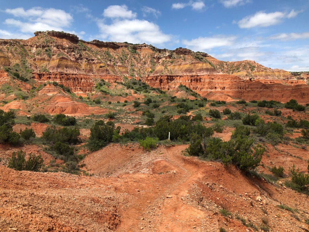
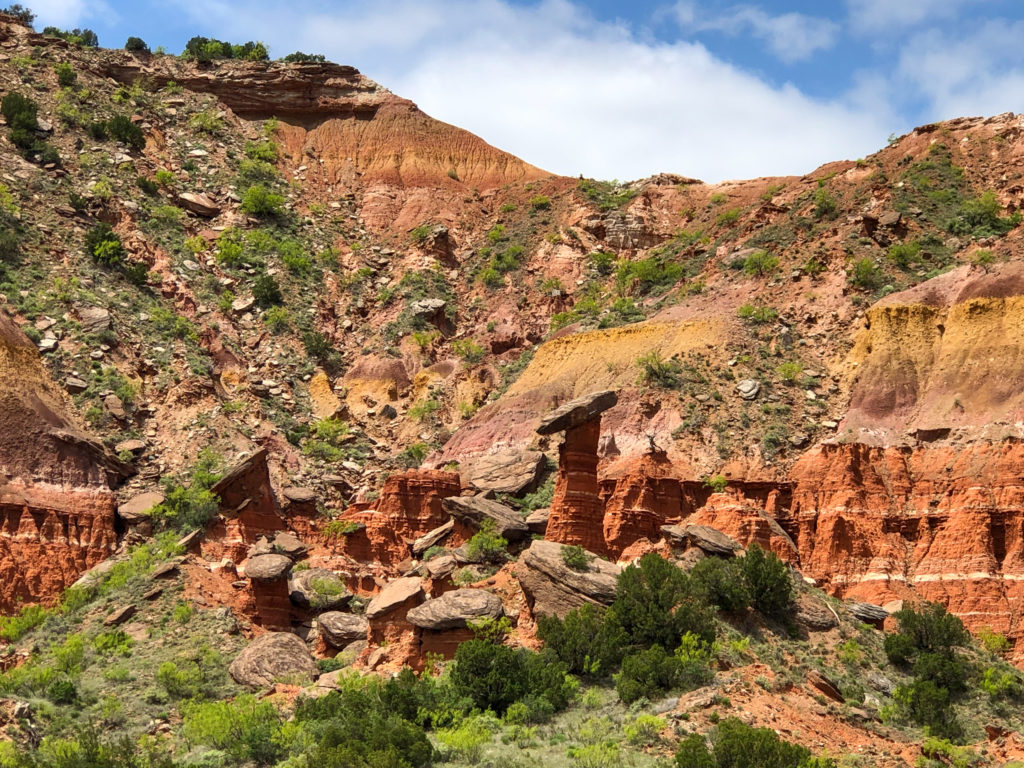
The most impressive things about the GSL trail is the amount of stunning hoodoos that poke above the horizon along most of the trail. On top of this we noticed a lot of changing scenery across the 3 miles of that we where on the trail. It went from towering hoodoos down to complete desert areas and shockingly some forested areas as well.
The most interesting sites around the trail are actually these hoodoos about halfway back to the trailhead that are mind boggling balancing on a tower. The pictures below do not do it justice but it is a site worth seeing.
After getting back to the GSL trailhead you end up in a parking lot area near the Hackberry Camp Area. If you are in need of a restroom this is our recommended location since it has a high chance of being open. Almost all the other restrooms in the park not in a campground where closed when we looked around.
Paseo del Rio Trail
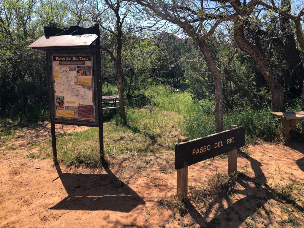
Once you are ready to get on the Paseo del Rio trail to head back to the Lighthouse Trailhead and parking lot, you will head down the main road for about 5 minutes until you see the river under the road. This part was a tad confusing and we had to backtrack to cross the bridge on the road then walk down onto the Paseo del Rio trail.
The Paseo del Rio trail is a quick 1 mile trail that will get you back near the Lighthouse parking lot and is a nice wrap up to this loop around the park. The trail is essentially flat and follows the river next to it.
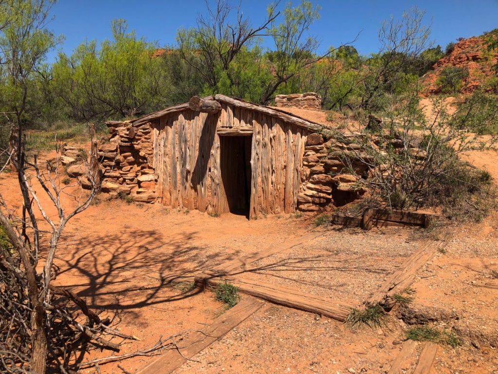
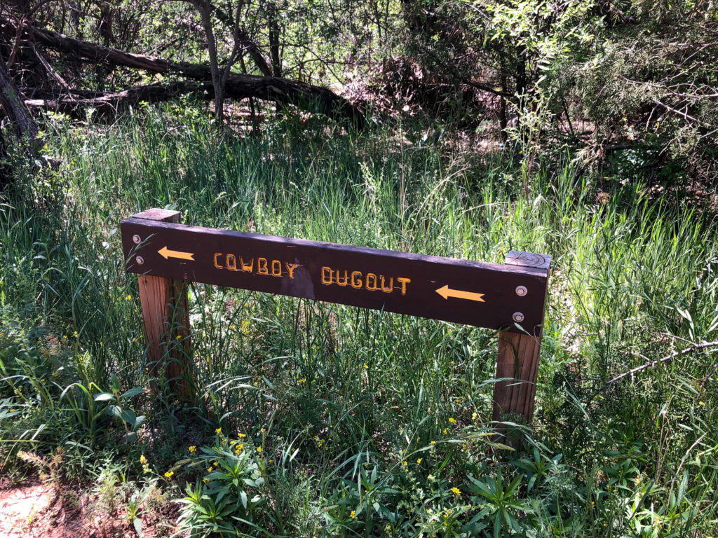
We were originally excited to see the Cowboy Dugout but honestly it was quite a letdown to be upfront with you. We had seen pictures of the inside but we assume unless you go with a Park Ranger it is locked and you can just see the outside area.
Once you are done exploring the Cowboy Dugout you can continue to the end of the trail where you will have to walk about .25 miles on the side of the Palo Duro Canyon loop road back to the Lighthouse Trailhead parking lot.
If you are lucky the snow cone truck will be open depending on the time of year you visit the park.

Best Hikes In Palo Duro State Park
You have now completed our favorite Epic Loop and the perfect way to spend one day of adventure in Palo Duro Canyon. If you are like us and want to make the most of a one-day visit to Palo Duro Canyon this loop will cover all your bases.
We hope you enjoy your visit to Palo Duro Canyon and let us know what was your favorite trail below!
If you want another great challenge after Palo Duro then Guadalupe Mountains National Park should be on your list! As the highest point in Texas, the hikes at the Guadalupe Mountains will not disappoint!
8 Responses
Great info. This is very detailed and I feel I could follow the route from your insrtuctions. I would hate to get lost out there in the heat and dust!. Good info on which options of route to take as I feel I would prefer the less intense ones.
The scenery looks fabulous, the colour of the rocks reminds me of many area of Jordan, especially Petra.
I have to admit I had to look up the word “hoodoos” as I’ve never heard of it before – now I know!
Never thought Texas had such a huge canyon – like many I assumed Texas was rather flat and open – I’ve learned something new today. Great article.
Thanks! Texas definitely has a lot to offer and so many little hidden gems that are unexpected.
Would love to see Petra one day and compare!
You can really tell why Lighthouse Rock gets the name it has. Sounds like a great little trail, not too long but with a great view and unique formations. Palo Duro looks like a great place to visit
It is definitely an awesome looking rock formation and a must do trail if you are in the area. Definitely doable for anyone!
Amazing post! I was looking for something like this when I visited Texas with my boyfriend earlier this year but I believe we were a VERY long ways from here. But that’s ok because there’s always next time and we’ll concentrate most of our time on that side of the state to go to some state parks.
That is always the one downside of Texas, it is just too large! But there is always next time!
Thank you! I was looking for information for how to combine some of the trails into a loop. You did it for me!!
Glad it helped! We love Palo Duro and think there is just so much to do there.
One day can definitely cover so much by joining the trails!